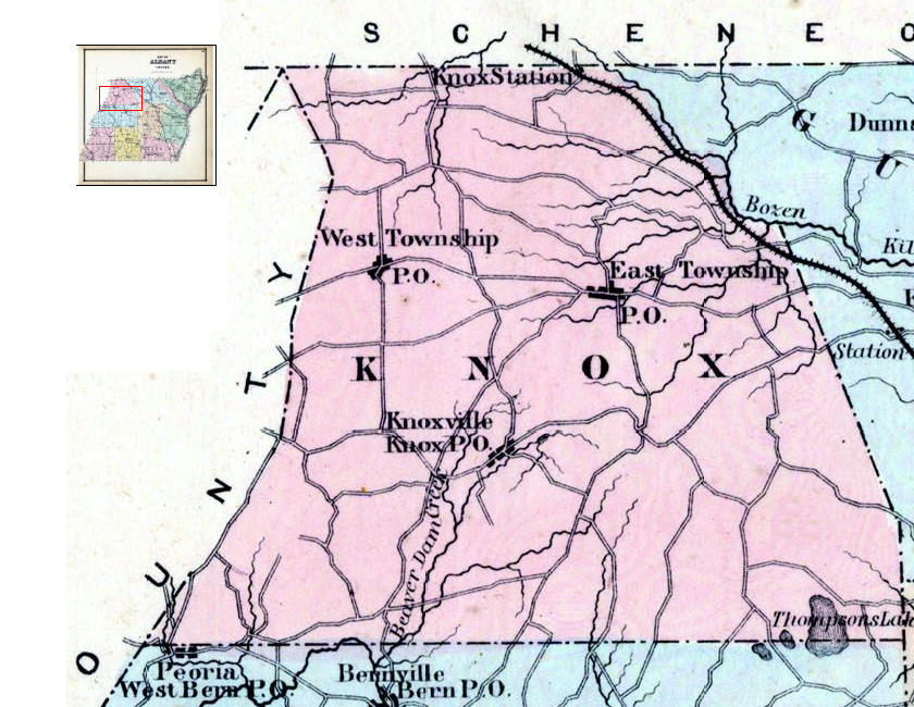
Difference between revisions of "Beers 1866 map Knox Closeup"
From Helderberg Hilltowns of Albany County, NY
k>JElberfeld m |
m (1 revision imported) |
| (One intermediate revision by the same user not shown) | |
(No difference)
| |
Latest revision as of 19:04, May 14, 2022
Full Title: Albany County Map
Full Atlas Title: Albany and Schenectady Counties 1866
Country/Location: United States
Publish Date: 1866
Publisher: Stone & Stewart
Map Original Width: 14.17"
Map Original Height: 14.69"
A high resolution version can be viewed by going to the Guilderland Public Library site, http://www.guilpl.org/
Select Research, then Genealogy, and then Historic Map Works.
You must enter a valid library card barcode.
A search for Albany New York will bring up access to the map.
Click here for a more extensive explanation of the 1866 Beers Map.


